Free online resources served by the Arizona Geological Survey.
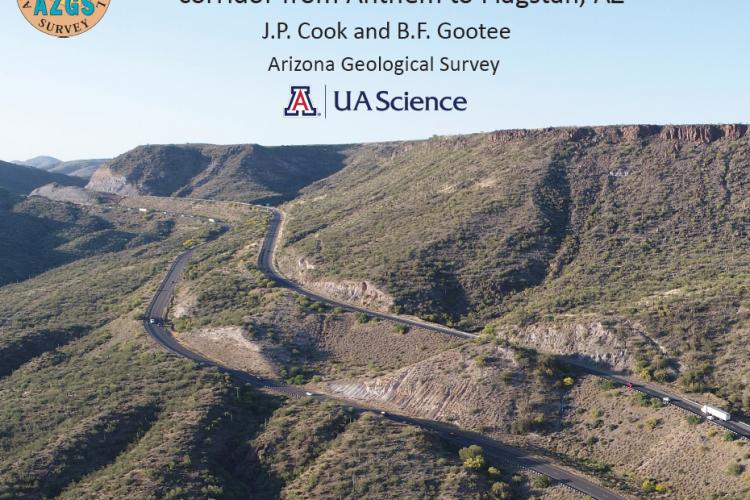
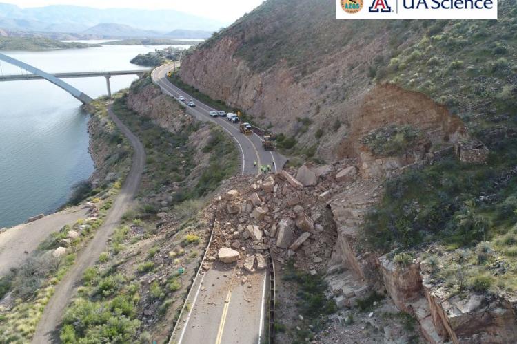
AZGS report, "Landslide mapping along the Interstate-17 corridor from Anthem to Flagstaff, AZ" is now available online.
AZGS Newsletter Winter 2020-2021.
We are excited to announce that the AZGS award for the STATEMAP Program in Fiscal Year 20-21 is $324k – a 2-fold increase from our current level of funding and much more than we have ever received before. With the required 50/50 state match, we will be devoting unprecedented resources to geologic mapping in Arizona over the coming year.
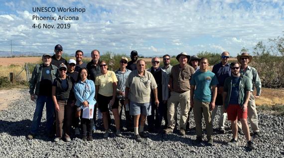
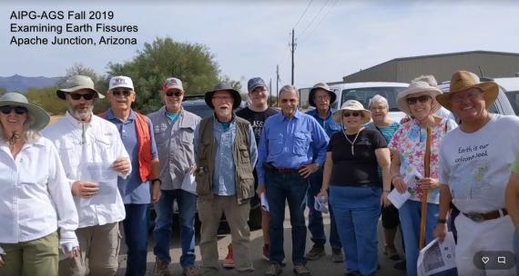
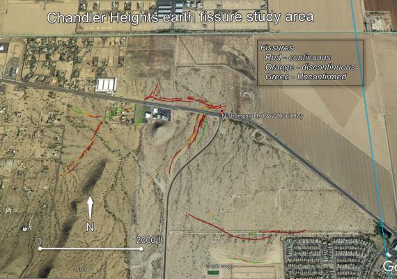
AZGS in the field examining earth fissures with UNESCO, AIPG and AGS.
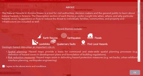
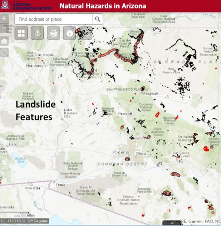
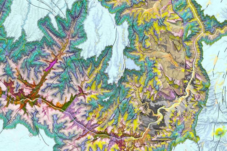
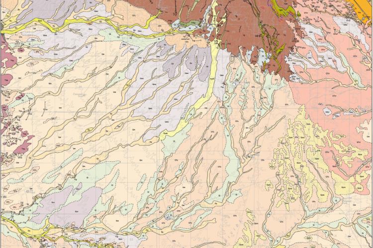
Version 2.0 of the Natural Hazards in Arizona viewer includes more than 8,000 landslide features covering more than 800 square miles.