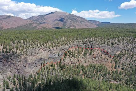
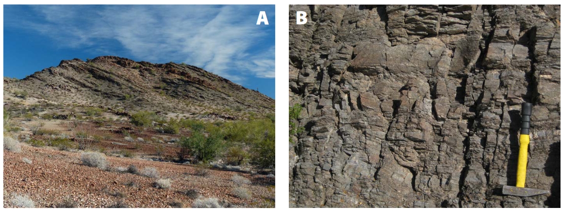
The Orocopia Schist Subduction Channel at Cemetery Ridge, Southwest Arizona
In 2012, Gordon Haxel and colleagues stumbled upon exposures of mantle peridotite and pyroxenite at Cemetery Ridge near the Eagletail Mountains of southwestern Arizona. Cemetery Ridge is ~ 550 km inland from the present-day continental margin offshore of southern California. What’s remarkable is that this piece of oceanic peridotite is 350 km inboard of the reconstructed Late Cretaceous continental margin!
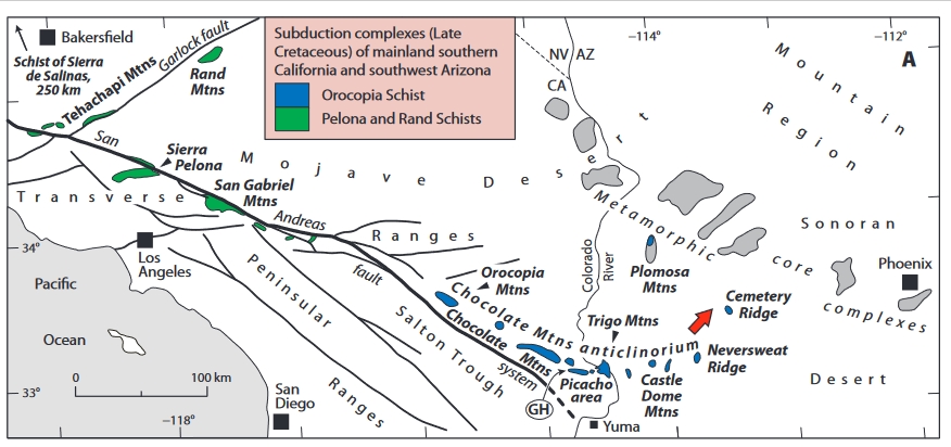
From Haxel and others (2022) Introduction, “The Cemetery Ridge peridotite owes its anomalous position and tectonic setting to shallow subduction, which has carried oceanic rocks several hundred kilometers inland beneath the continental crust of southwest North America … The peridotite crops out as blocks or pods entrained in a latest Cretaceous low-angle subduction channel, the Orocopia Schist… “ This is the fourth in a series of reports documenting the Cemetery Ridge peridotite.
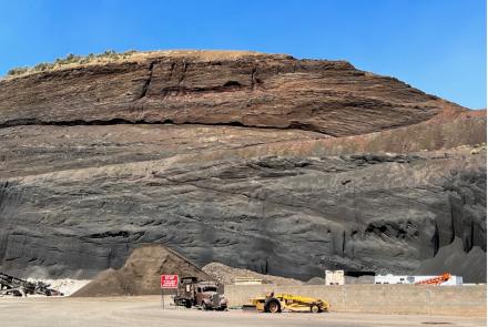
You can read or download the 91-page report (with 10 tables and dozens of figures) and accompanying 1:2000-scale geologic map at http://repository.azgs.az.gov/uri_gin/azgs/dlio/2014 . Note: The high-resolution report PDF displays images well.
Citation: Haxel, G.B., Epstein, G.S., Jacobson, C.E., Wittke, J.H., Standlee, K.G., and Mulligan, S.R., 2022, Mantle peridotite and associated metasomatic rocks in the Orocopia Schist subduction channel (latest Cretaceous) at Cemetery Ridge, southwest Arizona: Geologic map, petrology, and structural setting: Arizona Geological Survey Contributed Report CR-22-A, 85 p., map scale 1:2000.
Synergistic Publications at the AZGS Document Repository:
Haxel G.B. and 6 others, 2021, Criteria for Recognition of Subducted (Orocopia) Schist in Western Arizona. Invited Poster, presented at Geological Society of America, 2021 Cordilleran Section, Reno, May 2021.
Spencer, J.E. and Haxel, G.B., 2021, Compilation Bedrock Geologic Map of Cemetery Ridge, La Paz and Yuma Counties, southwest Arizona. Arizona Geological Survey Contributed Map CM-21-A, 1 plate - 1:48,000.
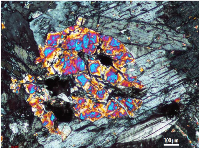
Title Slide: Photomicrograph of olivine orthopyroxenite from Cemetery Ridge, Arizona (G. Haxel).